水土保持專業服務

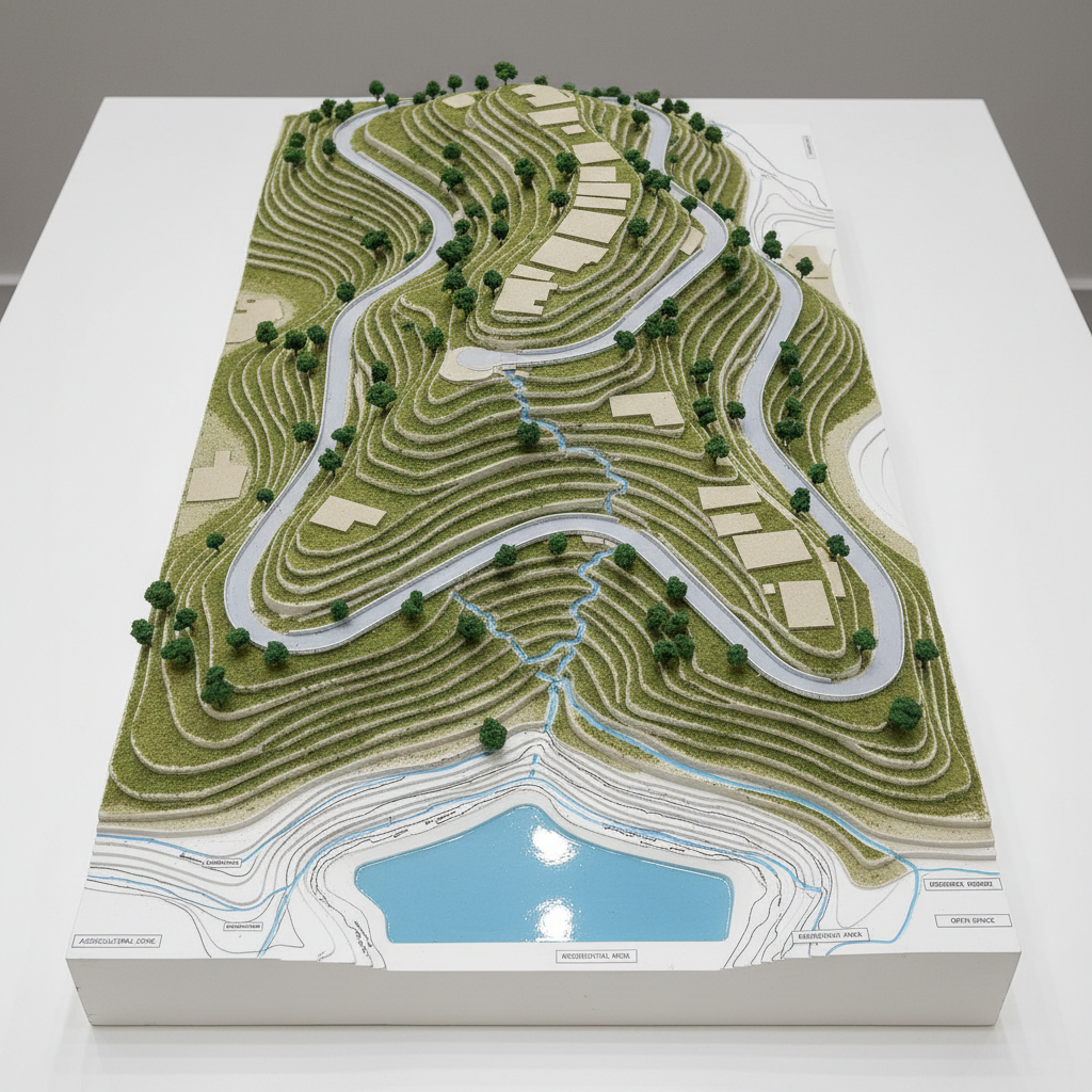
本頁介紹本所的專業水土保持服務範圍、申請流程與顧問專長,並說明如何快速獲得核准與執行計畫,確保工程品質與環境保護的雙重效果。

A close, eye-level photographic view of a detailed soil and water conservation engineering blueprint laid out on a smooth, light-wood drafting table. The blueprint shows contour lines, slope stability diagrams, drainage layouts, and a small detention basin in crisp blue ink on bright white paper. Around it lie metal drafting tools, a precision scale, and a rugged orange field notebook with mud stains along the edges. Soft, cool daylight from a nearby window illuminates the scene, creating gentle shadows from the instruments and subtle highlights on metal surfaces. The composition uses shallow depth of field, keeping the central plans in razor-sharp focus while the background fades into a soft blur, conveying a professional, meticulous, and trustworthy planning atmosphere in a realistic photographic style.
A serene, eye-level photographic scene of an agricultural hillside where soil and water conservation measures are clearly visible. Rows of fruit trees follow gentle contour lines, their trunks surrounded by mulched basins, while between the rows, low grass cover protects the soil. At the bottom of the slope, a neatly constructed grassed swale and a small check dam made of natural stones slow and direct runoff toward a vegetated infiltration area. Warm, late-afternoon sunlight bathes the landscape in a golden glow, casting long, soft shadows that accentuate the contour-aligned planting. The composition follows the rule of thirds, leading the viewer’s eye from the foreground swale up through the terraced plantings. The atmosphere is orderly, sustainable, and reassuring, captured in realistic, crisp photographic style.
A wide aerial photographic view of a terraced hillside covered in lush green vegetation, with carefully engineered contour terraces and stone-lined drainage channels stepping down the slope. In the middle distance, a small, clear detention pond reflects the soft afternoon sky, while neatly arranged check dams guide runoff safely downward. The surroundings show forested ridgelines and a distant valley floor. Gentle, diffused late-afternoon sunlight casts soft shadows that emphasize the terrain’s contours, creating a calm, orderly atmosphere. Captured with sharp focus throughout and a balanced, rule-of-thirds composition, the image emphasizes professional, well-planned soil and water conservation engineering in a realistic, clean, modern photographic style.
A medium-wide photographic scene of a stabilized hillside beside a rural road, featuring newly constructed retaining structures and drainage facilities. A stepped gravity retaining wall made of textured concrete blocks anchors the toe of the slope, with vegetated geogrid layers extending upwards and covered in fresh hydroseeded grass. At the base, a lined trapezoidal drainage ditch guides clear water toward a small energy-dissipating basin. Overcast daylight provides soft, even lighting with minimal harsh shadows, allowing every engineering detail to be visible. The camera is positioned at a slightly low angle, looking along the length of the wall to create depth and a sense of reliability. The mood is calm, safe, and professionally managed, rendered in crisp, realistic photographic style with natural colors and clean composition.
A top-down photographic view of a meticulously crafted physical model of a hillside development, displayed on a clean white presentation table. The model features stepped agricultural terraces, a cluster of small building pads, clearly defined access roads, and a network of miniature drainage channels leading to a rectangular detention pond with a blue, glossy water surface. Tiny contour lines and labeled zoning areas are printed along the base. Soft, neutral studio lighting from above eliminates harsh shadows and highlights the textures of painted foam, fine sand, and flocked greenery. The composition is centered with sharp focus across the entire frame, giving a precise, analytical feel. The mood is professional and solution-oriented, ideal for illustrating land development planning and runoff control in a modern, realistic photographic aesthetic.

水土 保持 專業

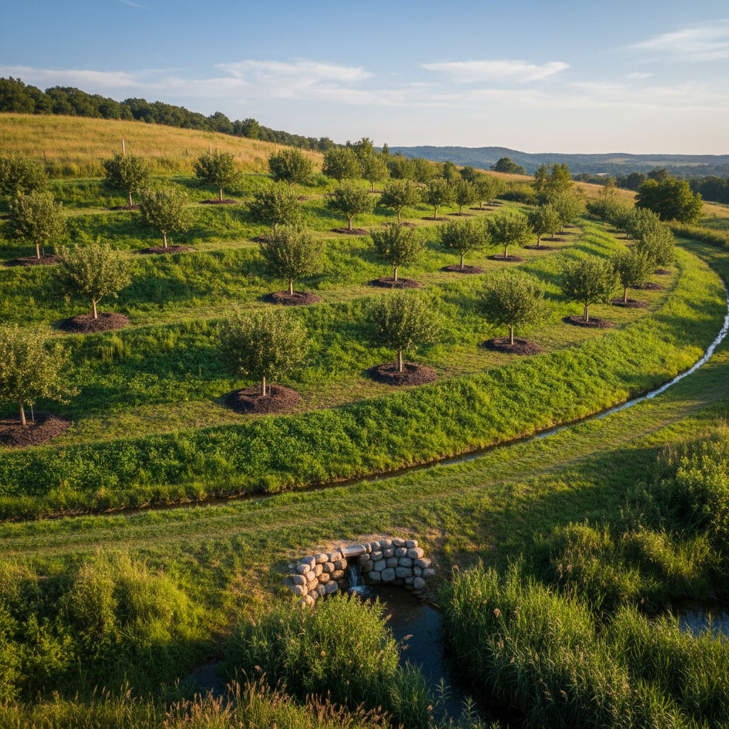
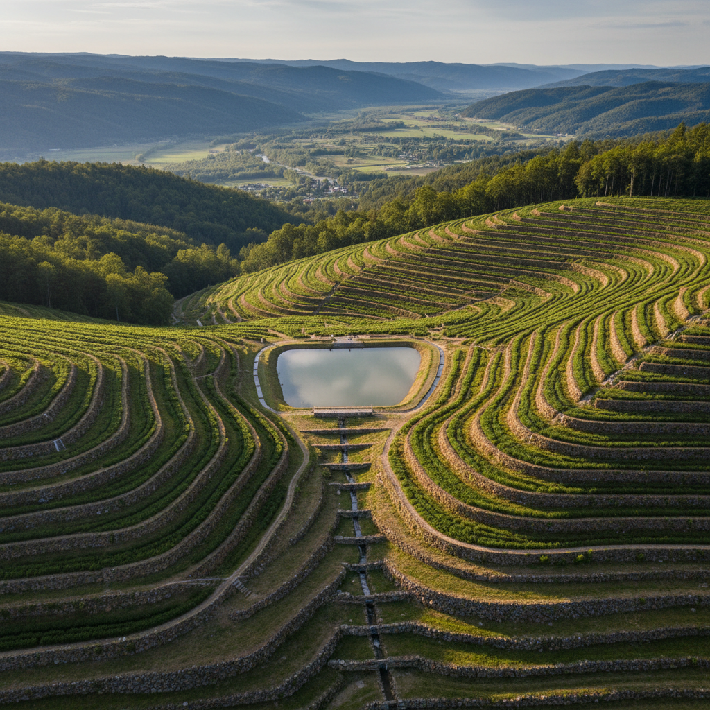
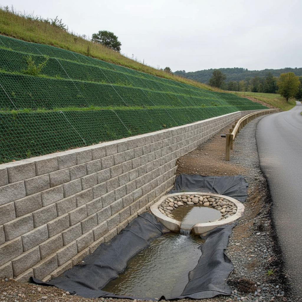
上為水土保持技師事務所提供全方位的水土保持計畫、坡地安全評估、農業設施申請與工程監造等服務,歡迎來電或加 LINE 洽詢,我們全台皆可承接,協助您完成合法合規的專案。

A close, eye-level photographic view of a detailed soil and water conservation engineering blueprint laid out on a smooth, light-wood drafting table. The blueprint shows contour lines, slope stability diagrams, drainage layouts, and a small detention basin in crisp blue ink on bright white paper. Around it lie metal drafting tools, a precision scale, and a rugged orange field notebook with mud stains along the edges. Soft, cool daylight from a nearby window illuminates the scene, creating gentle shadows from the instruments and subtle highlights on metal surfaces. The composition uses shallow depth of field, keeping the central plans in razor-sharp focus while the background fades into a soft blur, conveying a professional, meticulous, and trustworthy planning atmosphere in a realistic photographic style.

專業 值得 信賴。

— Aya Nakamura